Gimsing – Handbjerg
Terminal moraine from a glacial re-advance and an inner depression.
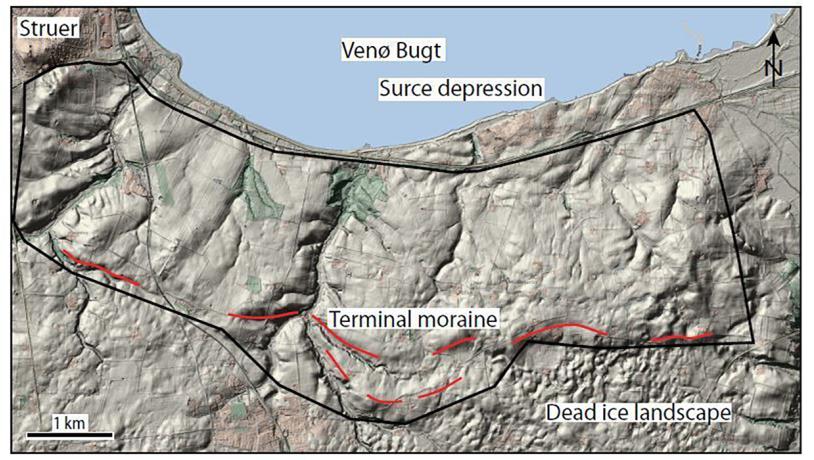
Figure 10-1: Map of the Gimsing – Handberg area superimposed on the digital elevation model. It shows clearly that the upland area is orientated east-west in the east but it curves gently to the north in the west. Its northern flank slopes gradually down to Venø Bugt in the north and is cut by several water-eroded valleys.Photo:Geopark Vestjylland
This site covers an area of about 2 x 5 km located east of Struer and just south of the bay Venø Bugt (Figure 10-1). It lies in the moraine landscape that makes up the northern part of the land area of the geopark that was formed in connection with the Main Weichselian Advance and subsequent melting. Venø Bugt is interpreted as representing a submerged source depression that developed during a glacial re-advance (Figure 10-2).
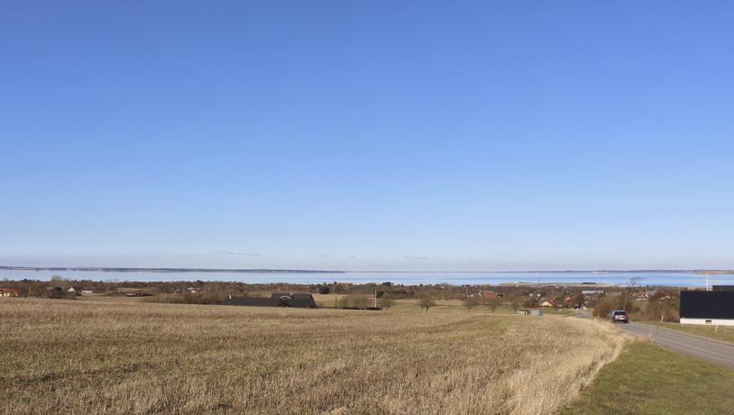
Photo:Geopark Vestjylland
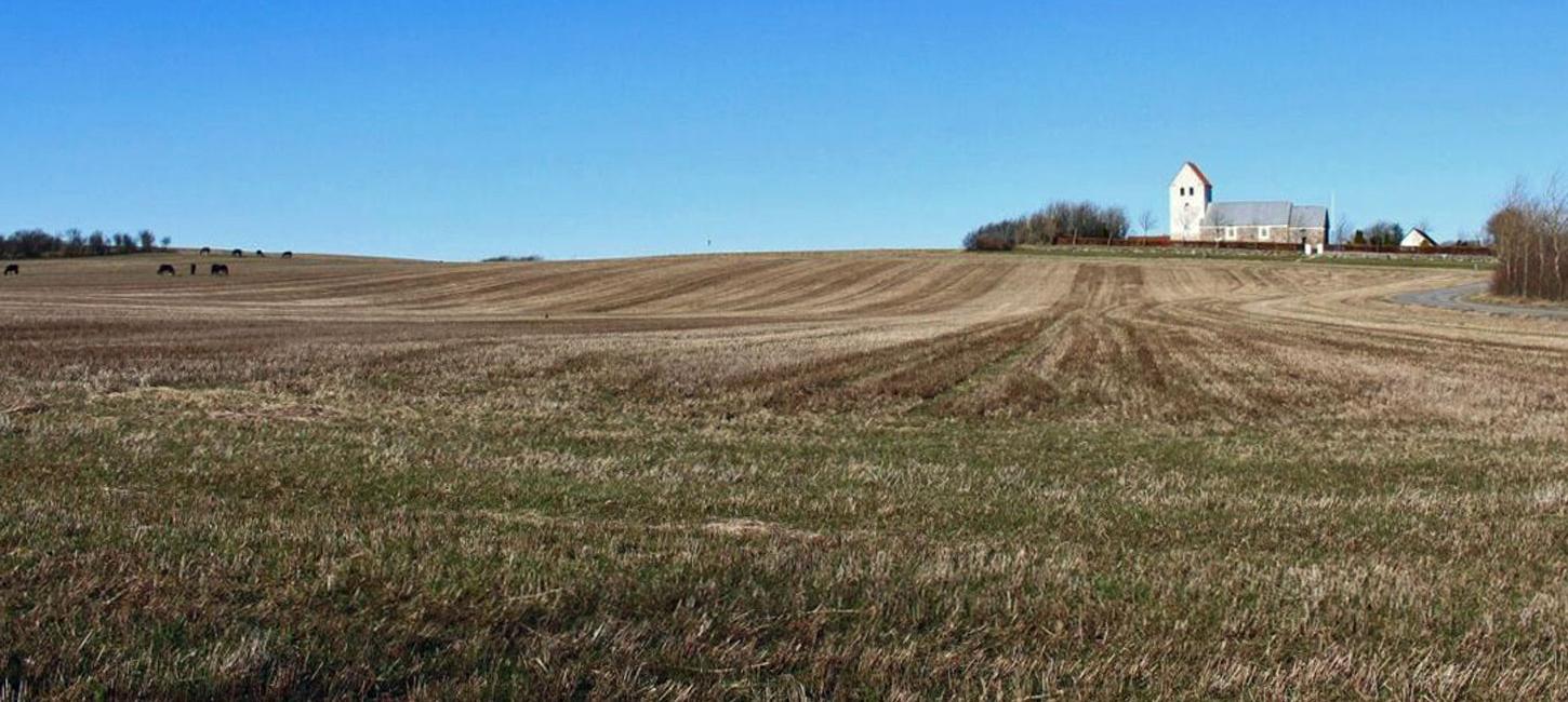
The site comprises a hilly area that rises evenly over a distance of about 2 km from the coast at Venø Bugt to 57 m above sea level in the east near Handbjerg. Further west the upland area curves to the north and is a bit lower, reaching 34 m above sea level. The hilly area and its flanks are composed of clayey till. The upland area is interpreted as a terminal moraine and is one of several formed by re-advance following the Main Weichselian advance that reached the MSL (site 17 Lomborg – Bonnet - Heldum; site 7 Nørlem - Nørre Nissum; site 8 Bjerrum Arch; site 6 Toftum Bjerge; site 9 Breinholt Arch; site 11 Ryde - Sevel).
With the absence of dead-ice features, clay-rich composition and steady slope of its northern flank the Gimsing – Handbjerg terminal moraine is similar to that at site 7 Nørlem - Nørre Nissum, but differs in its lower elevation and slightly curved shape. This locality is particularly instructive because of its relationship to the source depression at Venø Bugt (site 28) i.e. the terminal moraine in association with the source depression make up a hill-hole pair. The upland area is cut by two marked water-eroded valleys that incise up to 10 m down into the surrounding landscape and several smaller water-eroded valleys that all run from the top of the ridge down to Venø Bugt.
The area is protected under Nature Conservancy Law § 3 (protected types of nature) and the beach protection line. The churches and prehistoric barrows in the area are protected. Historically the area has been important for agriculture with scattered farms. There used to be water mills in the most westerly watercourse in the area (Kvistrup Møllebæk).