28. Venø Bugt
Inner depression from a re-advance after the main Weichselian advance.
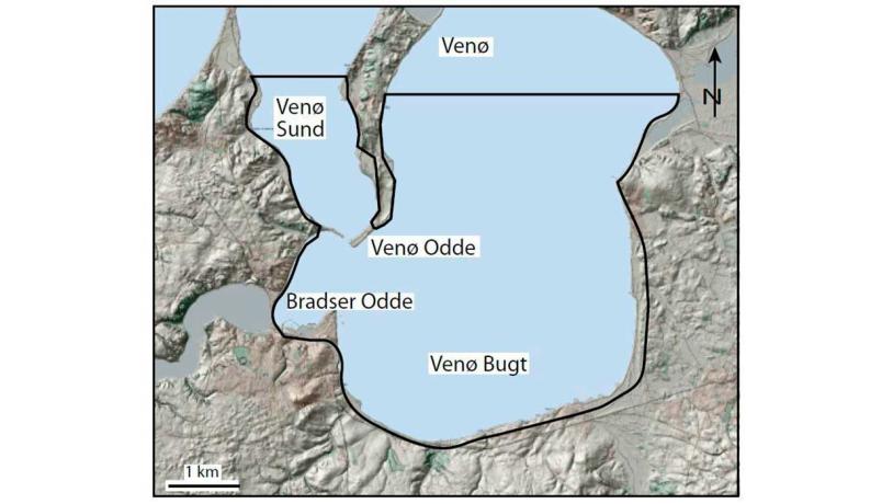
Figure 28-1: Map of the Venø Bugt area.Photo:Geopark Vestjylland
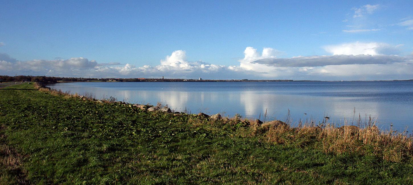
This locality is a 9 x 9 km area in the base of the bay Venø Bugt in Limfjord (Figure 28-1, 28-3). It is located east of Struer and 8-10 km north of the MSL. The locality is therefore part of the landscape that dominates the northern part of the geopark that was formed in connection with the Main Weichselian Advance from the north and northwest to the MSL and the subsequent retreat. The sea floor in Venø Bugt is quite flat with a depth of about 6 m. There are shallower areas in the western part of the bay around the island Venø and to the east near the outlet from Sønder Lem Vig - Geddal Enge (site 30).
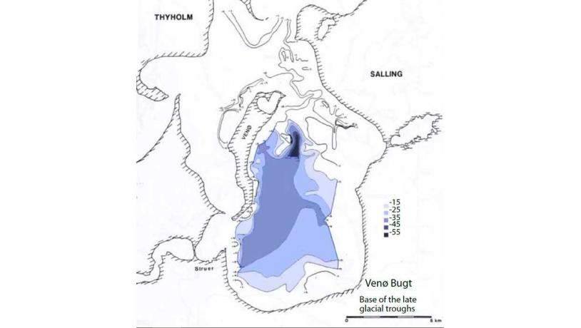
Figure 28-2: Late glacial troughs mapped by seismic methods.Photo:Geopark Vestjylland
To the south and west the locality borders terminal moraines formed as a result of glacial re-advances after initial retreat of the Main Weichselian Advance as described under site 10 (Gimsing – Handbjerg) and site 9 (Breinholt Arch). The tunnel valleys Kilen - Hornet (site 14) and Hellegård Tunnel Valley (site 15) start in the southern part of the bay. To the east the locality is bordered by a complex area of moraines and meltwater deposits related to the very broad Karup valley in which the lakes Stubbergård Sø and Flyndersø (site 16) are situated.
Venø Bugt has a complex history of development. When the ice sheet stood at the MSL, the area was covered with ice and the two tunnel valleys (Kilen - Hornet and Hellegård) that transported meltwater to the south probably extended into the bay area. During the overall retreat from the MSL, repeated re-advances resulted in erosion of the area. The ice that covered the area fetched the material that makes up the terminal moraines at Gimsing – Handbjerg (site 10) and Breinholt Arch (site 9) and formed the inner depression that is now occupied by Venø Bugt and Venø Sound. Meltwater flowed southwards in the large hollows of the previous tunnel valleys and Karup valley.
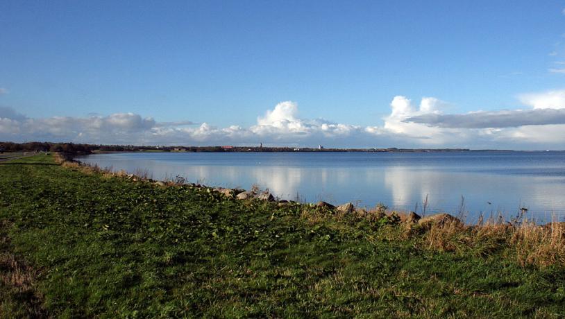
Photo:Søren Raarup
Seismic studies show that there are considerable thicknesses of late glacial meltwater deposits in Venø Bugt (Figure 28-2). In the central part of the bay they reach a thickness of up to 40 m. These studies indicate that the main direction of flow of the late glacial meltwater through Venø Bugt was from northeast to southwest, and there was an outlet through Kilen (site 14). With continued melting a larger area became ice-free and in the Stubbergård Sø - Flyndersø (site 16) area the flow of meltwater changed direction so that it began to flow into what became Venø Bugt on its way to the North Sea.
When the last glaciation ended, the Littorina Sea inundated the area and the source depression was flooded. There are only very thin deposits of postglacial age along the coasts of Venø Bugt, and the greatest thicknesses are found in the central part of the bay and near the spits Venø Odde and Vrald Odde. The postglacial history of the area is described under site 41 (Venø – Nørskov Vig). The coastal areas are protected under Nature Conservancy Law § 3 (protected types of nature) and the beach protection line.
The important town of Struer is located at the base of Venø Bugt. In the early 1800s there were only 53 people living here at what was a landing place for cargo to Holstebro. The population increased when the railway was built in 1865 and in 1917 it became a market town.