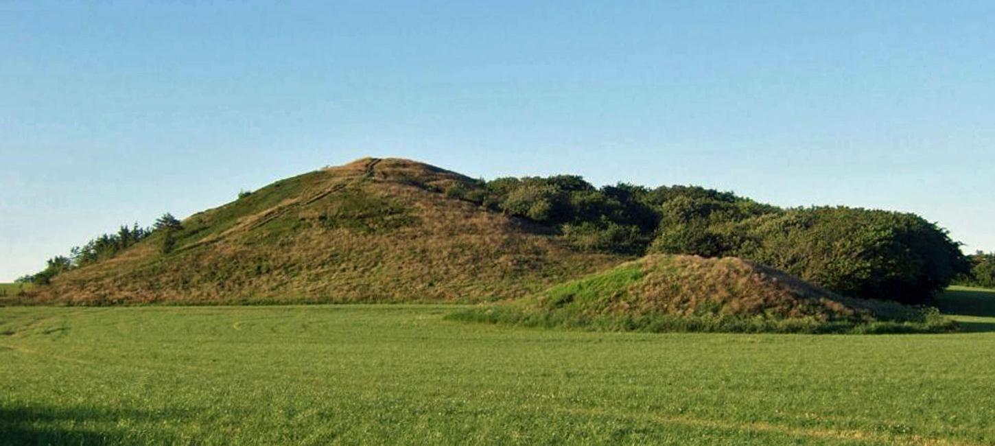
Bjerrum Arch
Marked terminal moraine with several kames.
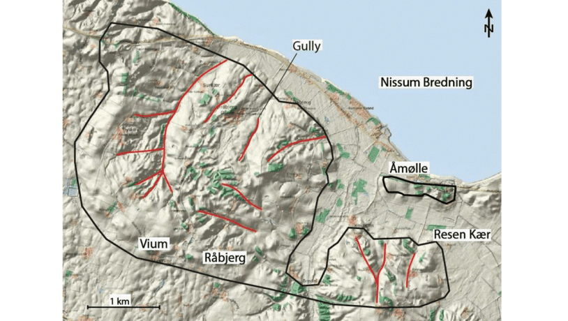
Photo:Geopark Vestjylland
Bjerrum Arch is located between the towns of Lemvig and Struer and immediately east of Nørre Nissum Seminarieby (college; Figure 8-1). A minor part of the locality is included in site 31 Remmerstrand - Resen Kær. Bjerrum Arch is a marked feature in the moraine landscape that comprises most of the northern part of GPWJ. This moraine landscape was formed by a variety of processes in connection with the Main Weichselian Advance 23.000-21.000 years ago and subsequent melting of the ice. Bjerrum Arch is the eastern extension of the impressive terminal moraine Nørlem - Nørre Nissum (site 7) that was formed by a glacial re-advance after formation of the MSL. Much younger, postglacial marine deposits occur at the northern margin of the locality along Nissum Bredning (site 31 Remmerstrand - Resen Kær).
Photo:Geopark Vestjylland
Bjerrum Arch is a curved ridge that reaches 65 m above sea level. It extends from the large terminal moraine in the north (site 7 Nørlem - Nørre Nissum) for about 1.5 km to the south. From here the ridge curves towards the east. The northern part of the ridge is distinct and the south-western flank slopes steeply down towards Nørre Nissum Seminarieby. The fall is about 15 m (from 55 to 40 m above sea level) over a distance of only 200 m. Where the ridge curves to the east it becomes broader and a bit higher, but the southern flank still slopes steeply. Neither the eastern nor the north-eastern flanks are very steep, falling about 20 m over a distance of 400-500 m.
Photo:Geopark Vestjylland
Both the eastern and north-eastern flanks have been affected by water erosion. The valleys formed by this erosion cut down into deposits of meltwater sand and clay. The extensive erosion of these loose deposits has led to a very uneven topography. This erosion also means that it is not easy to appreciate the overall slope of the landscape since the valleys dominate the scenery. The ridge represents a terminal moraine formed at the margin of a lobe-formed glacial re-advance from the northeast at a time when the predominant process was melting of glaciers responsible for the MSL. It formed at about the same time as the ridge at site 7 Nørlem - Nørre Nissum.