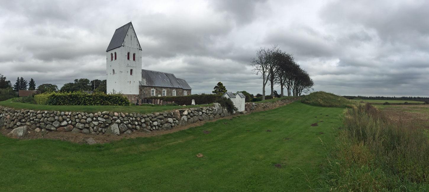
Fabjerg Church Road
Main Stationary Line (MSL) and prehistoric traces.
This locality lies just north of Klosterhede heathland and between the towns of Lemvig and Struer (Figure 3-1). It comprises a roughly 700 m broad belt that stretches from Fabjerg church for about 3 km to the east along the road Fabjergkirkevej, and then for a further 500 m to the east. To the north this site abuts site 18 Nørre Nissum - Fabjerg and to the south it is adjacent to site 20 Klosterhede – Kronhede. The locality is a good example of the kind of landscapes developed along the MSL. This line marks the maximum extent of the Scandinavian Ice Sheet 23.000-21.000 years ago and is a boundary between two markedly different types of landscape. North of the MSL is a hilly dead ice landscape that formed when the ice retreated from its maximum position. To the south the landscape is dominated by extensive outwash plains formed when the ice was melting, as well as hill islands that are remnants of glacial landscapes from the Middle Weichselian or Saalian.