Research
Photo: Maria Knadel
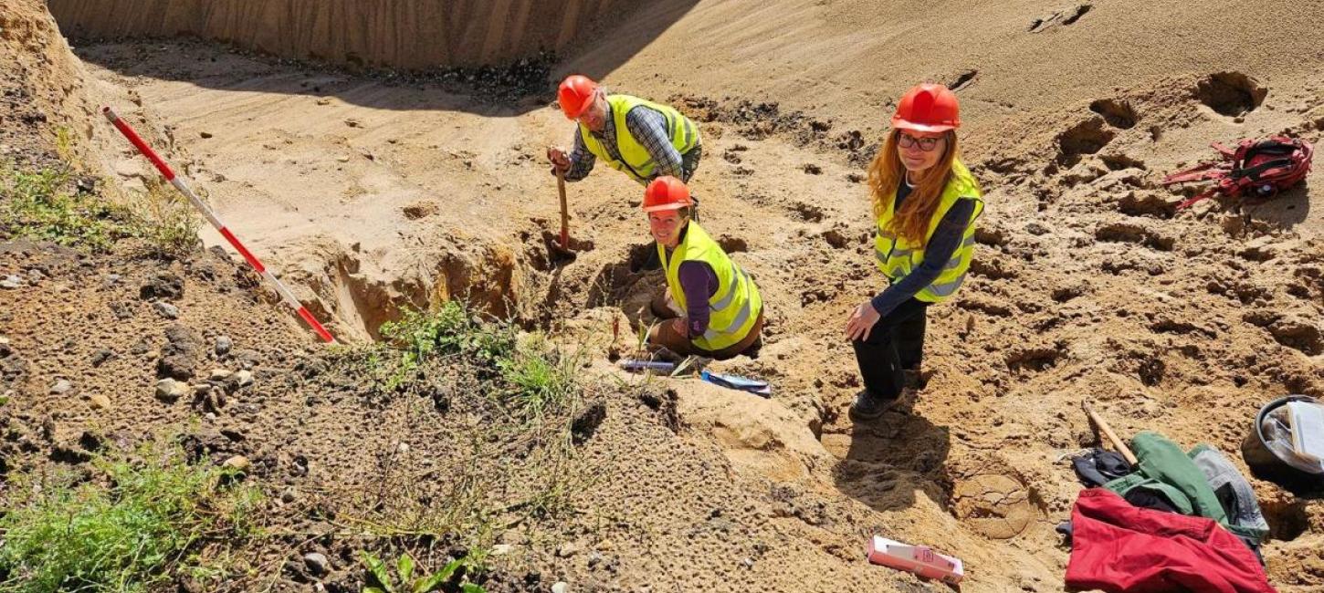
Geopark West Jutland and its suite of glacial landforms and sediments has been subject to scientific scrutiny for more than a century.
Already in the beginning of the 20th century state geologist Niels Viggo Ussing presented a very comprehensive analysis of the landscapes in the geopark area. He advocated that the landscapes were glacial landforms and identified, amongst other features, the Main Stationary Line as a marked boundary in the landscape between a hilly glacial landscape and flat outwash plains.
Since then the conceptual glacial landscape model has been discussed and challenged, but it remains the backbone of our current understanding. The variety of glacial landforms and sediments is demonstrated in a pedagogical form and on an international scale Geopark West Jutland ranks among one of the best locations to study the impact of the Scandinavian ice sheet on landscape development.
Apart from geology other areas of research provides us with knowledge of the geopark and its development. On these pages we will present various projects and their results.
Research Partnerships
In connection with the compilation of the application to UNESCO, Geopark West Jutland has entered in a partnership with Institut for Geoscience at Aarhus University about specific assistance for the preparation of the application as well as an overall 5 year partnership agreement to support the research, education and communication.
In addition to geological research topics, the Geopark will provide a framework for other research projects with relevance to the development of the geopark. A series of these will be described on this page.