31. Remmerstrand - Resen Kær
Marine foreland. Littorina cliffs.
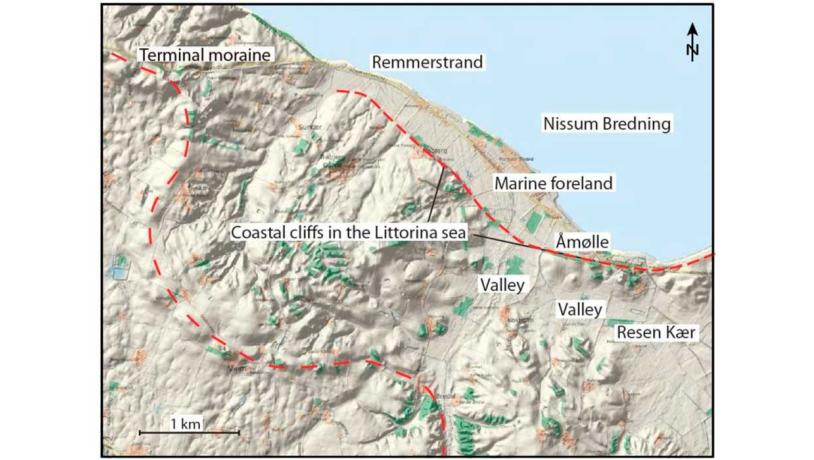
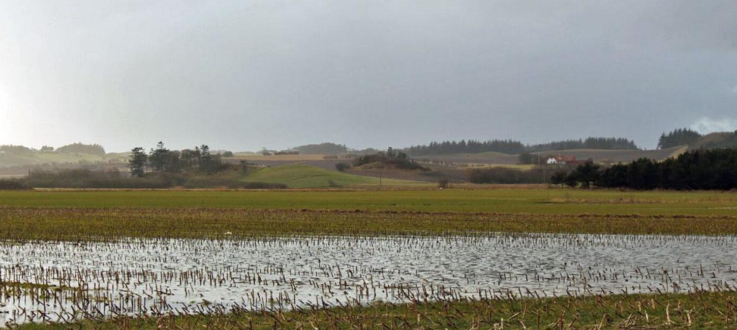
Figure 31-1: Remmerstrand-Resen Kær.Photo:Geopark Vestjylland
Remmerstrand - Resen Kær is located on the coast of Nissum Bredning west of Humlum and is characterized by low-lying coastal areas and valleys that border on marked hills and steep slopes. The coastal area (Remmerstrand) is a marine foreland, and the steep slopes and valleys were coastal cliffs and fjord arms in the Littorina Sea (Figure 31-1).
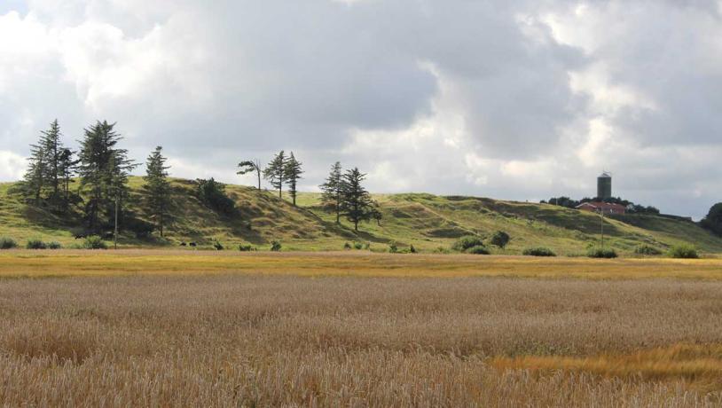
Photo:Geopark Vestjylland
Like site 29 (Veserne-Engbjerg-Plet) the landscape has been affected by marked changes in sea level that characterized the period after melting of the Weichselian ice. In the Atlantic period (9.000 – 6.000 years ago) the sea level was about 2 m higher than today and the Littorina Sea inundated low-lying areas. Today the low-lying areas form marine foreland with fine examples of “fossil” beach ridges. Behind the marine foreland there are two steep slopes that reach 20 m above the low-lying areas. These slopes, which were coastal cliffs in the Littorina Sea, are eroded terminal moraines (see site 8 – Bjerrum Arch) (Figure 31-2). The terminal moraine is cut by a valley that was a fjord in the Littorina Sea. The valley splits into two and the larger of these branches, Resen Kær, is a wide, flat area surrounded by moraine landscape.
Resen Kær used to be a low-lying tidal meadow area, but towards the end of the 1800s it was drained and today it is cultivated. The “fossil” beach ridges on the marine foreland at Remmerstrand used to be excavated for gravel, but this activity has ceased. The 500-year old watermill, Åmølle, was in operation until 1953. It is now protected and is used as a historic information centre run by volunteers.
The coastal stretch has been nominated as a Natura 2000 bird protection and habitat site. The tidal meadows are particularly important. The area around Åmølle watermill is preserved.